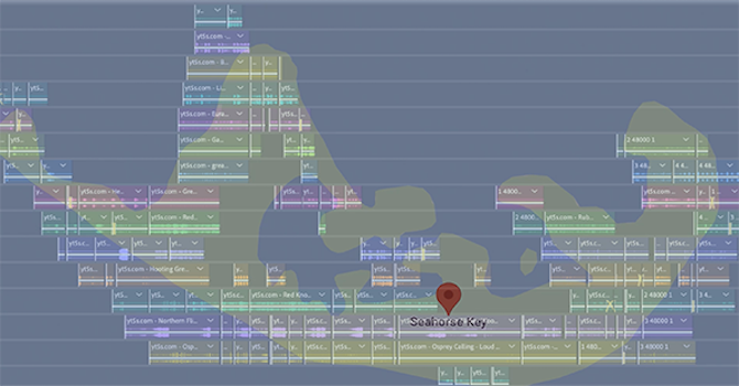
MAPPING AND PLACE | SEAHORSE KEY
Art + Tech Graduate Seminar
This seminar introduces students to mapping and exploration as a potential methodology for their own art practice, interpreting and situating their work with a physical and/or virtual context/place. Students will interface with the local landscape conducting experiments and interventions with their surroundings with the intention of developing strategies that inform their work/projects. This class looks for the connections between students’ own work and geography, GIS, GPS, landscape architecture, critical theory, anthropology, and natural resources.
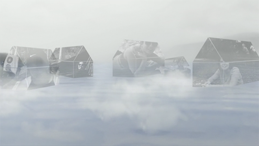
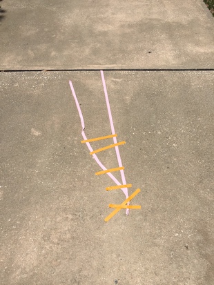
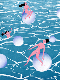
Students individually or collaboratively explore and create a piece of artwork about Seahorse Key. The class traveled to Seahorse Key for an overnight trip where they stayed at UF’s research station. What might it means to map a island? How does one define or look at the ideas can be metaphoric as well as geographic and certainly related to one's art practice and research. In this project, students critically explore an environment through metaphors of mapping.
To view student work for a particular topic, click on the topic link below, click on image, move cursor to the right to scroll through the images of work. Roll over captions to stop scrolling. Click to access project if there is a link.
-

untitled | courtney boyd | 2021
-
island | elham masoudi | 2018
-
sound mapping | jeong min park | 2021
-

archive | sue montoya | 2018
-

untitled | dustin adams | 2021
-
walk | almaz wilson | 2018
-

xenolith | gv kelley | 2018
-

created from the coming and going | kailey shea | 2018
-
untitled | benyue wei | 2018